




High-resolution ocean modelling and decision-support services supporting marine protected areas and sustainable fisheries management in the Azores.
AIMOS integrates Copernicus Marine data, in situ observations, and advanced ocean modelling to support evidence-based ocean governance in the Azores. The project delivers tools and indicators designed to assist marine protected area management and sustainable fisheries decision-making.
Context & Need
WHY AIMOS?
Understanding the Need for Regional Ocean Intelligence
The Azores archipelago sits in the middle of the North Atlantic and hosts one of the largest marine protected area networks in Europe. Managing such a vast and remote ocean region requires reliable, high-resolution information on ocean conditions and ecosystem dynamics.
Despite the availability of global and regional ocean data services, the Azores currently lacks dedicated modelling systems capable of resolving the complex oceanographic processes that influence its marine ecosystems, fisheries, and protected areas. This limits the ability of decision-makers to monitor environmental variability, anticipate changes, and implement adaptive management strategies.
AIMOS addresses this gap by developing high-resolution ocean modelling services tailored to the Azores region. By integrating Copernicus Marine data with in situ observations and regional expertise, the project generates actionable ocean intelligence to support marine conservation, fisheries management, and sustainable ocean governance.
The initiative also contributes to broader European and international policy objectives, including the implementation of the EU Marine Strategy Framework Directive, the Habitats Directive, the European Green Deal, and the global 30×30 biodiversity target.
Largest MPA Network in the North Atlantic
The Azores hosts one of the most extensive Marine Protected Area networks in the North Atlantic, requiring specialised monitoring capacity.
EU Outermost Region
As an EU Outermost Region, the Azores faces unique governance challenges and needs locally tailored, high-resolution ocean information.
Gap in Existing Modelling Systems
Existing large-scale models do not fully resolve the complex ocean dynamics of the Azores archipelago, limiting adaptive management capacity.
Policy Alignment
AIMOS supports science-based marine governance aligned with the MSFD, Habitats Directive, EU Green Deal, and global UN 30×30 objectives.
Services Overview
What AIMOS Delivers
Ocean Intelligence for Marine Protection and Sustainable Fisheries
AIMOS develops two complementary services designed to support evidence-based ocean governance in the Azores. By combining high-resolution ocean modelling, Copernicus Marine data, and in situ observations, the project delivers tools and indicators that help stakeholders better understand ocean conditions and support informed decision-making.
01
Decision Support for Marine Protected Areas
AIMOS provides modelling tools and environmental indicators to support the monitoring and management of marine protected areas in the Azores.
- Physical & biogeochemical ocean modelling
- Indicators for environmental variability and ecosystem vulnerability
- Identification of oceanographic patterns influencing biodiversity and productivity
- Science-based management and monitoring strategies
- Case Study
Condor Seamount (MPA14)
One of the best-studied offshore MPAs in the Azores – a long-term site for oceanographic and ecological research.
[ MPA visualisation / model output map ]
02
Supporting Sustainable Fisheries
AIMOS also develops tools that combine environmental forecasts with fisheries information to support sustainable fisheries management.
- Environmental forecasts linked to fisheries activity data
- Near-real-time decision context for fisheries managers
- Improved understanding of species distribution and fishing dynamics
- Support for adaptive, ecosystem-based management approaches
- Target Users
Fisheries Managers & Stakeholders
Providing timely ocean information that informs decision-making and promotes the sustainable use of marine resources.
[ Fisheries forecast dashboard / time series ]
System & Data
How It Works
From Ocean Data to Decision-Support Tools
AIMOS transforms ocean observations and modelling into accessible information that can support marine management and scientific understanding of the Azores region. The system integrates multiple sources of ocean information and processes them through a high-resolution modelling framework designed specifically for the Azores archipelago.
Ocean physical and biogeochemical data products: circulation, temperature, salinity, and ecosystem conditions from the Copernicus Marine Service.
Field observations - including oceanographic measurements and monitoring data - support model calibration and validation in the Azores region.
High-Resolution Ocean Modelling
A regional modelling system simulates ocean conditions around the Azores at finer spatial scales, capturing local dynamics and environmental variability.
Indicators & Visualisation
Model outputs are transformed into maps, indicators, and visual tools that help users interpret ocean conditions and environmental trends relevant to marine management.
- All Copernicus Marine datasets used within AIMOS remain accessible through the Copernicus Marine Service catalogue, ensuring transparency and open access to the underlying data sources.
Spatial Scope
Geographic Focus
The Azores Archipelago in the North Atlantic
Model Domain Map
[ Azores archipelago map with nested model domains and key focus areas ]
AIMOS focuses on the Azores archipelago, a remote group of islands located in the central North Atlantic Ocean. The region sits at the intersection of major oceanographic processes and hosts highly productive marine ecosystems, deep-sea habitats, and important fisheries.
The project develops a regional ocean modelling framework designed specifically for the environmental conditions of the Azores. By increasing the spatial resolution of ocean simulations around the archipelago, AIMOS helps capture local ocean dynamics that are often not resolved in large-scale global models.
Within this regional domain, particular attention is given to areas of ecological and management relevance, including Condor Seamount (MPA14), one of the Azores’ offshore marine protected areas and a long-term site for oceanographic and ecological research.
Through this geographically focused approach, AIMOS aims to provide locally relevant ocean information that supports marine protected area management, fisheries monitoring, and sustainable ocean governance in the Azores.
Participation & Legitimacy
Stakeholder Co-Design
Developing Ocean Services with the Users
AIMOS follows a stakeholder-driven approach to ensure that the services developed respond to real operational and policy needs in the Azores. Throughout the project, regional stakeholders are actively involved in identifying priorities, shaping the design of indicators and tools, and validating the usefulness of the outputs.
This collaborative process helps ensure that the modelling services and decision-support tools produced by AIMOS are relevant, practical, and aligned with regional ocean governance challenges. By integrating stakeholder knowledge and user feedback from the early stages of the project, AIMOS strengthens the link between ocean science and marine decision-making in the Azores.
- Engagement Activities
- In-depth Interviews
- Surveys & Questionnaires
- Participatory Workshops
- Iterative Feedback Loops
Regional Authorities
Bodies responsible for marine policy and ocean governance in the Azores
MPA Managers
Marine protected area managers and conservation initiatives in the region
Fisheries Sector
Fisheries sector representatives and fisheries management bodies
Scientific Community
Research institutions and scientific organisations active in the Azores region
NGOs & Conservation Groups
Non-governmental organisations involved in marine conservation and advocacy
Atlantic SENSE · AIMOS Node
Platform & Access
Accessing AIMOS Ocean Information
Platform Interface
[ Platform screenshot / mockup to be placed here ]]
The outputs generated by AIMOS will be made available through an online platform designed to facilitate access to ocean information relevant to the Azores region. The platform will allow users to explore ocean modelling results and environmental indicators through intuitive visualisations.
The system builds on existing data infrastructures and modelling frameworks developed by the project partners, and contributes to the development of the Atlantic SENSE platform, which will host and visualise the results generated within AIMOS.
- Platform Capabilities
- Visualisations of ocean model outputs for the Azores region
- Environmental indicators relevant to marine ecosystems and fisheries
- Time series and spatial maps describing ocean conditions
- Links to source data via the Copernicus Marine Service catalogue
- Open Data Access
All underlying datasets provided by the Copernicus Marine Service remain accessible through the official Copernicus Marine catalogue, ensuring transparency and open access to original data sources.
Partnership
Consortium
A Multidisciplinary Partnership
AIMOS is developed through a collaboration between Portuguese research and innovation institutions with expertise in ocean science, modelling, marine robotics, and stakeholder engagement. Together, the consortium combines scientific knowledge, technological innovation, and regional expertise to develop operational ocean services for the Azores.
- Together, these partners bring complementary expertise in ocean science, modelling, robotics, and stakeholder engagement to develop innovative services that support sustainable ocean management in the Azores.
Project Progress
Timeline & Status
Project Implementation (2025–2026)
AIMOS is implemented over an 18-month period, running from June 2025 to December 2026. The project follows a phased approach that combines model development, stakeholder engagement, field validation, and service deployment.
JUN 2025
DEC 2025
JUN 2026
DEC 2026
Development of the regional ocean modelling framework, integration of Copernicus Marine data and regional datasets, and initial stakeholder engagement activities.
Field campaigns and model validation activities, including oceanographic missions and the first demonstration of the Marine Protected Areas use case.
Deployment of the full modelling services, implementation of the fisheries decision-support use case, and preparation of the final operational platform and project outputs.
- Throughout the project, modelling development, stakeholder engagement, and field validation activities progress in parallel to ensure that the services are both scientifically robust and aligned with user needs.
Latest Updates
News & Updates
Milestones, Events & Scientific Output
- All Posts
- Field Campaign
- Milestone
- News
- Workshop
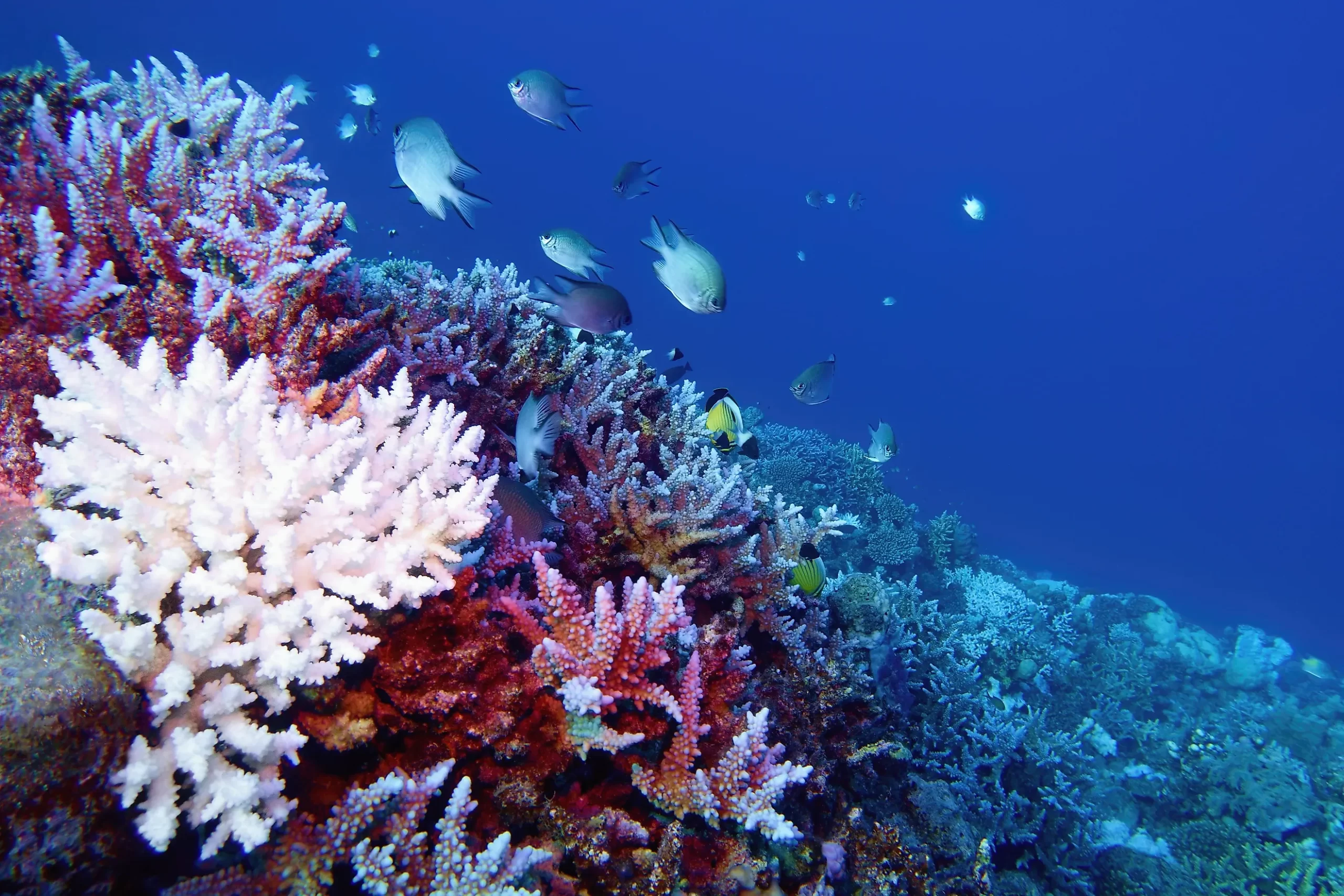
Scientists have developed a new AI-powered method for tracking coral reef health, enabling faster detection of bleaching events.
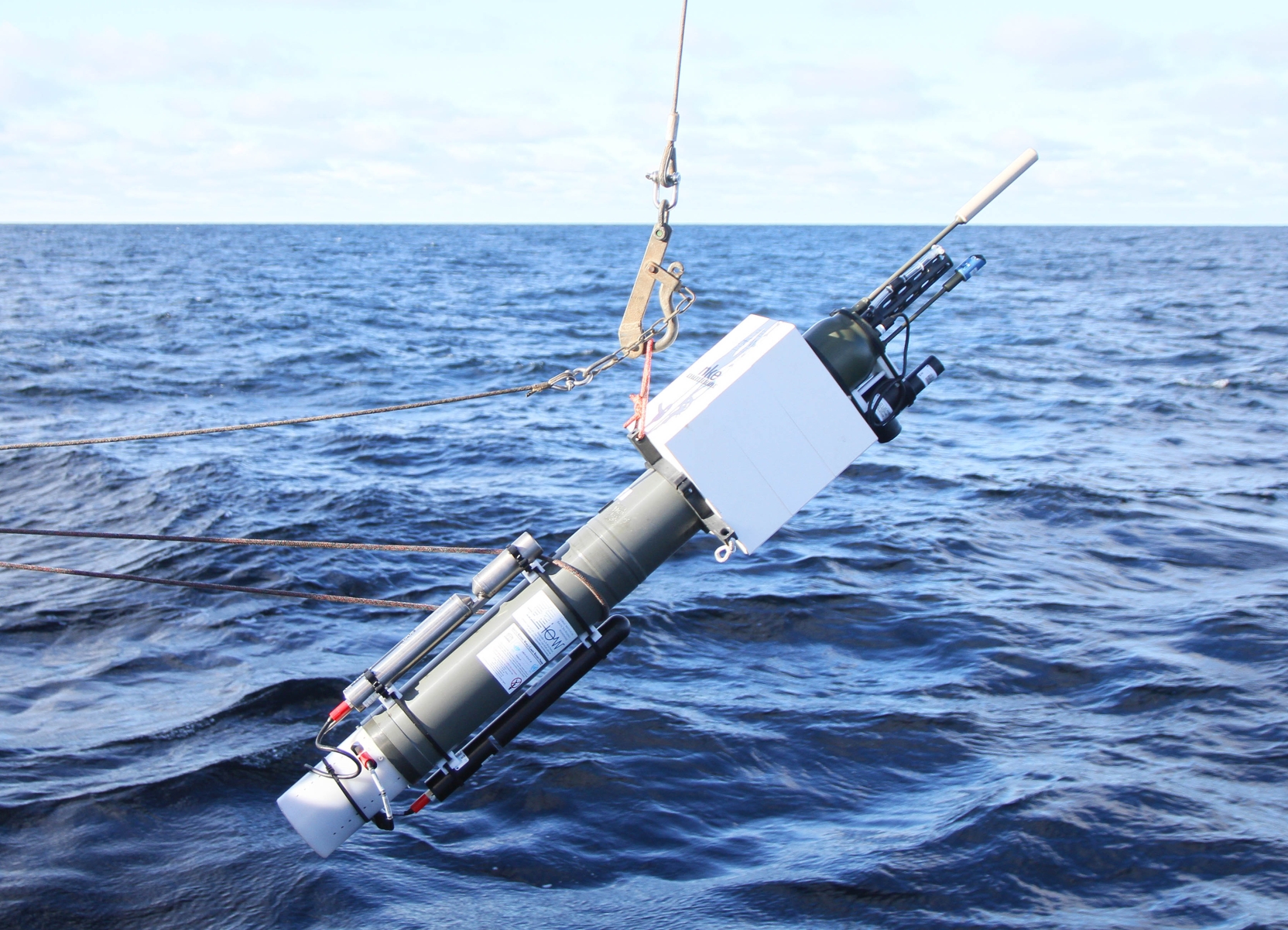
A new network of autonomous ocean sensors has been successfully deployed to monitor temperature, salinity, and biodiversity patterns. This marks...